My Government Services
This interactive map can be used to find government services at your address.
Sanford Zoning
Interactive zoning map for the city of Sanford, Florida.
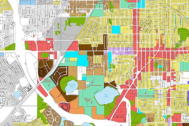
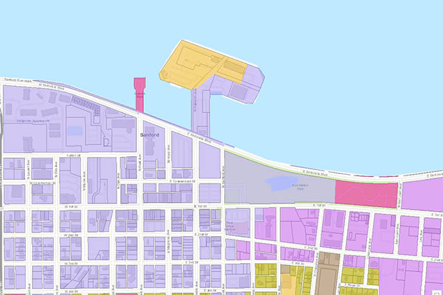
Sanford Future Land Use
Interactive future land use map for the city of Sanford, Florida.
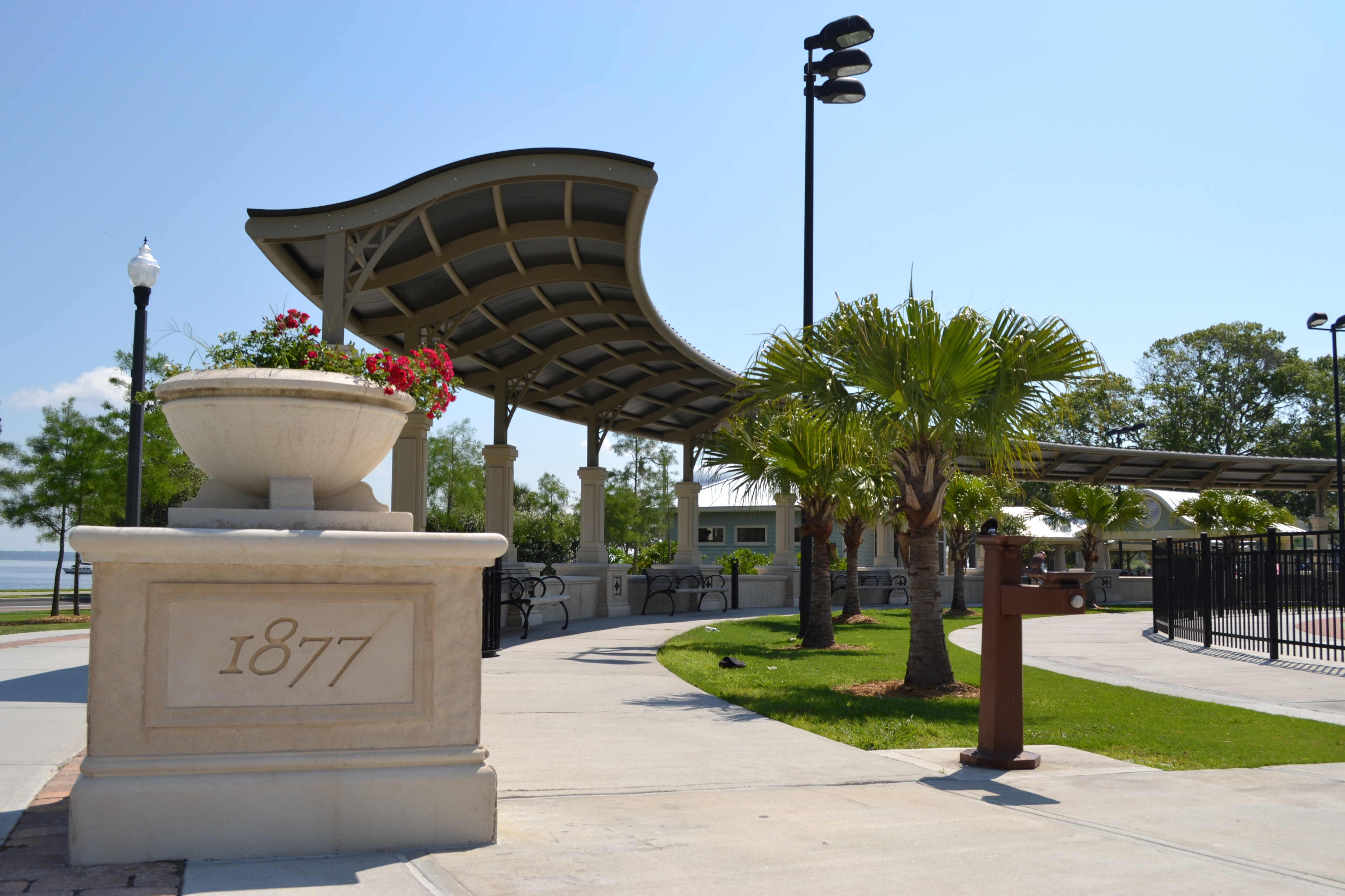
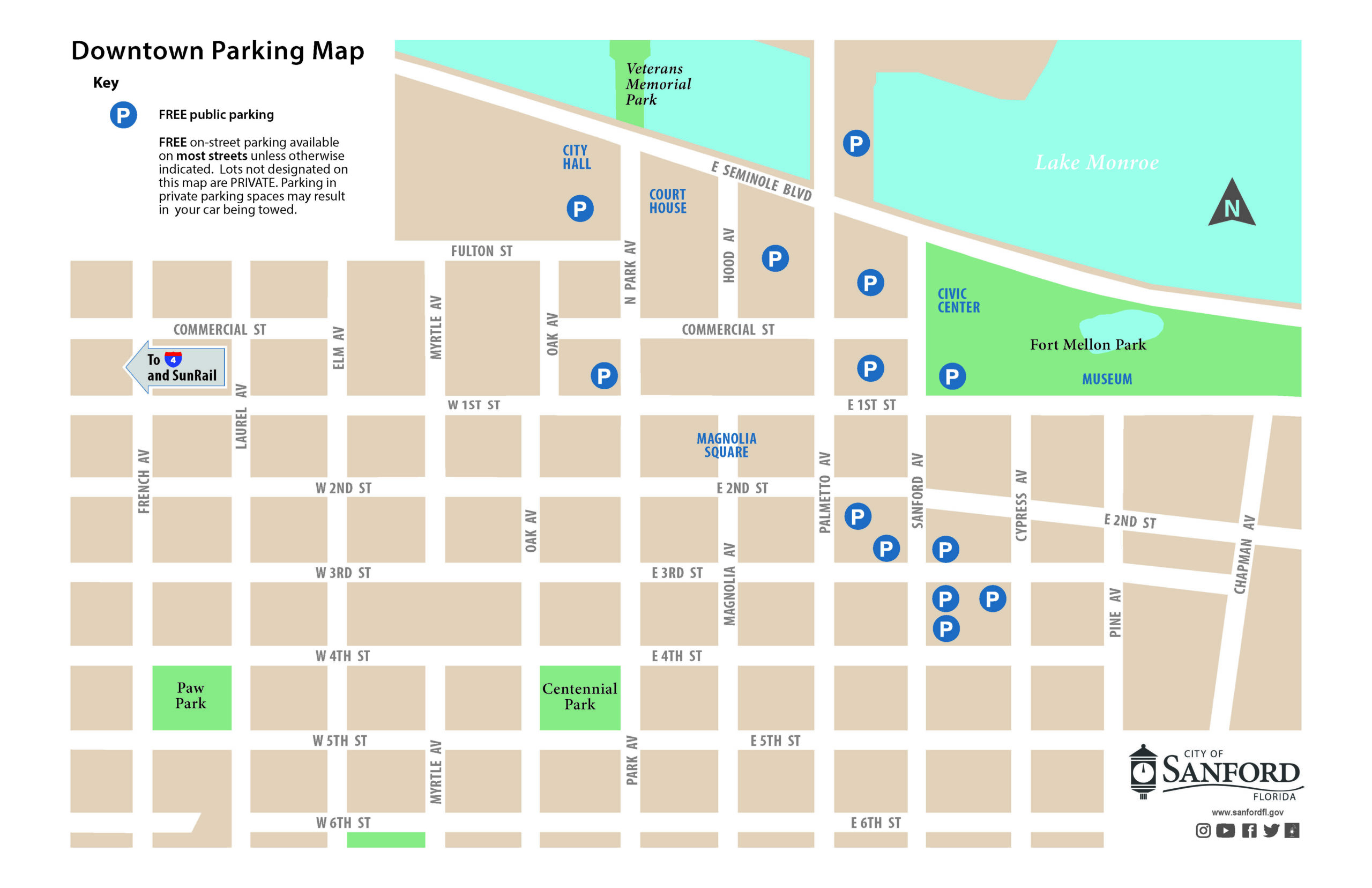
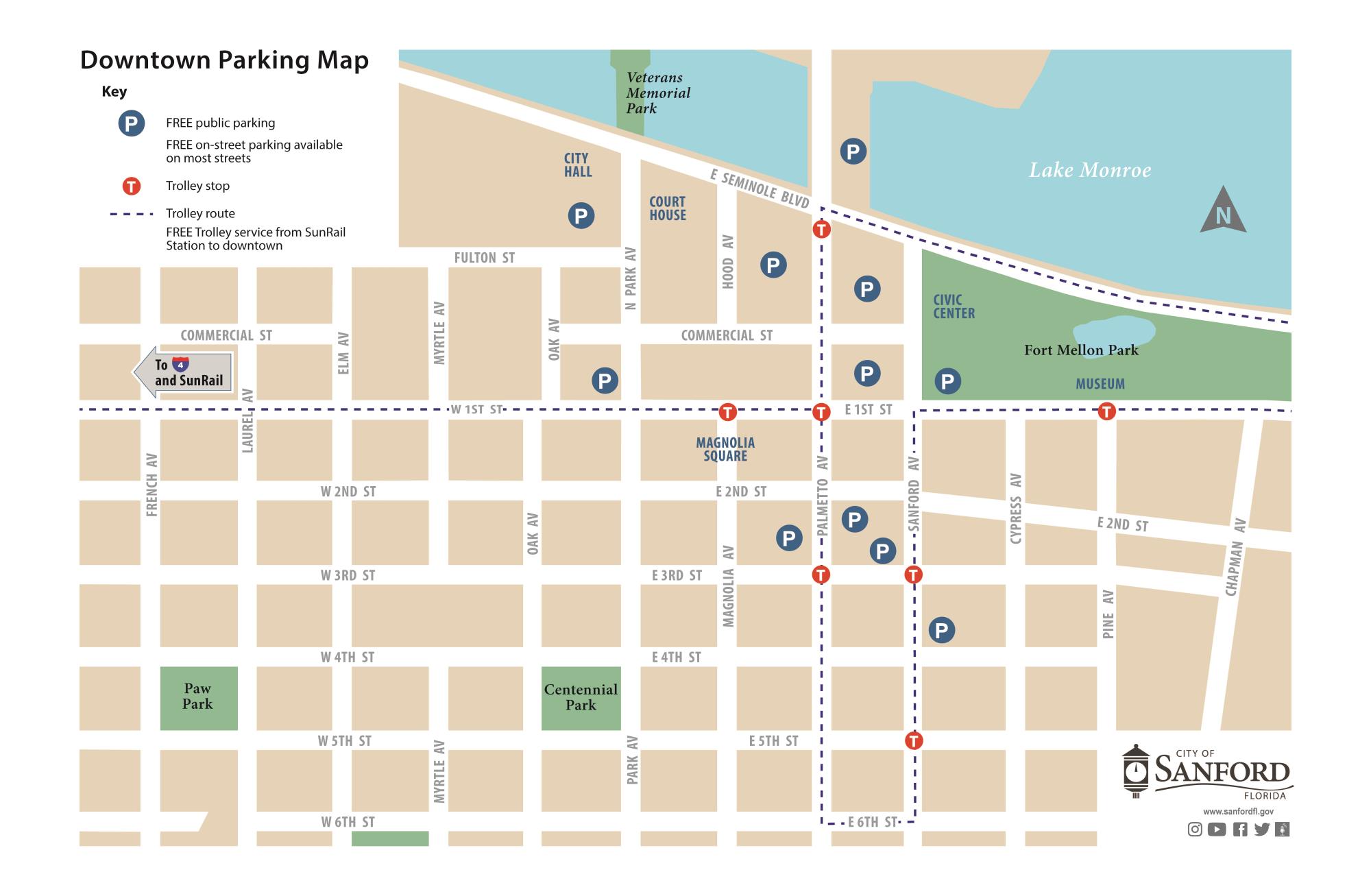
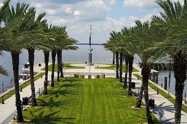
Ft Mellon Park
Interactive map of Ft Mellon Park

Paw Park
Interactive map of Paw Park improvements
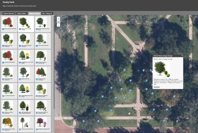
Touhy Park
Interactive map of Touhy Park
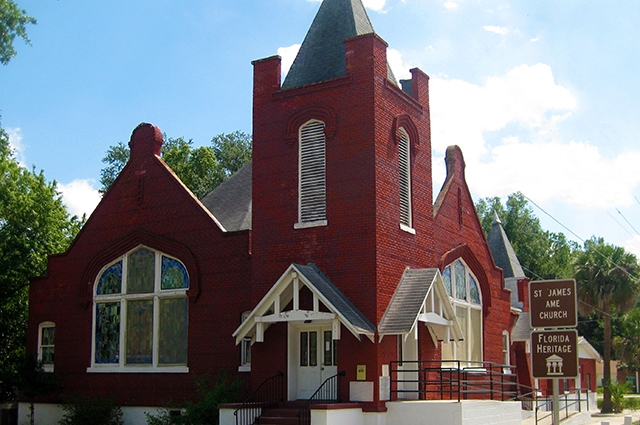
Historic Georgetown
Interactive version of the Pathways to History Historic Georgetown Tour

Commercial Historic District
Interactive version of the Commercial Historic District Tour
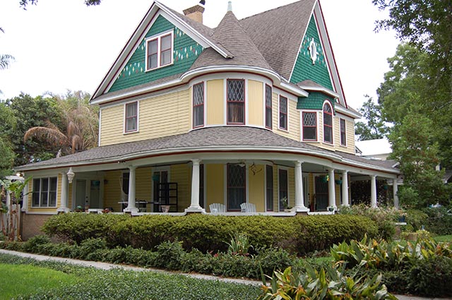
Residential Historic District
Interactive version of the Old Sanford Residential Historic District Tour